Settling the Stour Valley
We are exploring how settlement patterns and land use in and around Chilmington Green has evolved from the prehistoric period to modern times. When and how did settlements grow, shrink, or fall out of use? What factors influenced this? How do settlement patterns within the Chilmington Green study area compare with regional settlement patterns? How did economic activities, such as farming or quarrying, impact upon the landscape, and the lives of the former occupants of what is now Chilmington? We will explore this topic using a range of evidence, including archaeological reports, LiDAR images (like the example below), aerial photographs, historic records and more.
Move the slider to reveal the LiDAR image and ancient field boundaries that would be otherwise invisible to the naked eye.
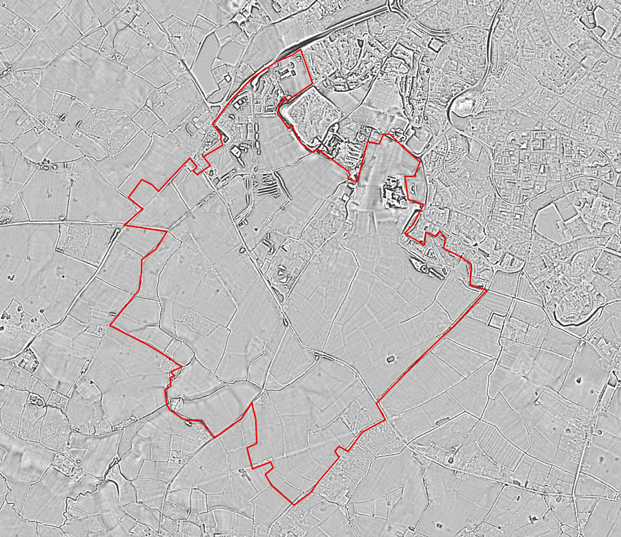
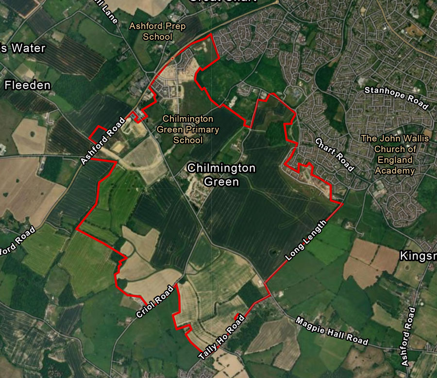
LiDAR and Aerial images of the study area.
The Fields of the Stour Valley
Taking inspiration from, and using a similar methodology to, The Fields of Britannia project (see Fields of Britannia | Research Projects | University of Exeter), the team will undertake detailed research across the Chilmington Green study area to determine how the field-scape of Chilmington has evolved over millennia. We will combine archaeological evidence, historic mapping, LiDAR images, and characteristics of the modern landscape to consider when the boundaries and field alignments that we see today first emerged, and how they have changed. What came before? When did major episodes of change happen, and what factors influenced this?


